
 ٤ صور
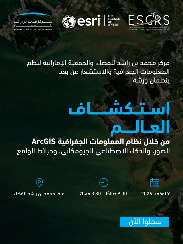
سجلوا الآن للمشاركة في ورشة "استكشاف العالم من خلال نظام المعلومات الجغرافية ArcGIS"، التي ينظمها مركز محمد بن راشد للفضاء، والجمعية الإماراتية لنظم المعلومات الجغرافية والاستشعار عن بعد في 9 نوفمبر 2026:
Exploring the World Through ArcGIS: Imagery, GeoAI, and Reality Mapping About Exploring the World Through ArcGIS: Imagery, GeoAI, and Reality Mapping Discover how imagery can become a powerful source of insight with ArcGIS. In this workshop, you’ll explore how to access, manage, visualize, and analyze a wide range of imagery, including satellite, aerial, drone…